


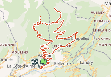

8.6 km | 12 km-effort


User


FREE GPS app for hiking
 SityTrail
IGN / Geographical institutes
SityTrail World
The world is yours!
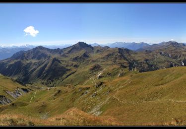
Trail Electric bike of 38 km to be discovered at Auvergne-Rhône-Alpes, Savoy, La Plagne-Tarentaise. This trail is proposed by franquen.
excellente randonnée en partant du Praz entre Aime et Bourg St Maurice.
chemin très bon et panorama sur la vallée et les Alpes (Mont Blanc, Mont Pourri, le Grand Bec, Mont Jovet ..) . Traversées des estives en douceur.
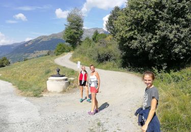
Walking
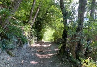
Walking

Walking

Walking
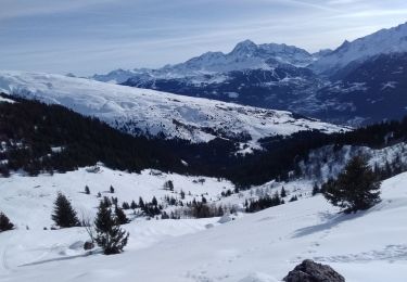
Touring skiing

Touring skiing
Walking

Snowshoes
Walking